

Geographic Information Systems (GIS) Intermediate/Advanced
Description
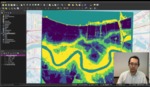
An intro to QGIS - a fully functional open source GIS package
Loading...
Media is loading
Publication Date
12-2019
Keywords
QGIS, comprehensive, open, elevation
Disciplines
Digital Humanities | Geological Engineering | Geology
Recommended Citation
Saltzman, Alex, "Geographic Information Systems (GIS) Intermediate/Advanced" (2019). Data Visualization Lab Videos. 3.
https://digitalcommons.xula.edu/data_instruct/3